Aviation Safety, Risk Mitigation & Command Authority
At Apex Vector LLC, safety is not a secondary checkbox—it is the foundational standard upon which every flight operation is engineered. Our on-site risk mitigation strategies transfer high-stakes military aviation discipline into commercial unmanned operations.
🎖️ Enterprise Maintenance & Operational DNA
Our Remote Pilot in Command (PIC), Travis Cloke, brings a distinguished 10-Year U.S. Army Veteran background serving as a CH-47 Chinook Helicopter Repairer / Aircrew Member.
This decade of real-world experience maintaining and managing complex, multi-million-dollar heavy-lift rotorcraft directly shapes our commercial drone fleet protocols. Every aircraft in our fleet undergoes exhaustive, logbook-audited pre-flight, structural, and avionics inspections mirroring military airworthiness standards.
📜 Regulatory Compliance & Industrial Safety Credentials
To ensure uncompromised integration with industrial, commercial, and agricultural worksite regulations, our risk management framework is backed by formal federal safety training.
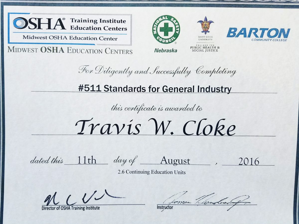
- Credential: OSHA #511 Standards for General Industry
- Issuing Authority: Midwest OSHA Education Centers / National Safety Council / Barton Community College
- Continuing Education: 2.6 Continuing Education Units (CEUs) certified in comprehensive compliance, hazard identification, and site risk mitigation.
This formal safety training helps Apex Vector LLC work smoothly within your existing site safety program alongside your safety directors, project managers, and compliance officers.
🛑 Rigid On-Site Safety Perimeters
During active data acquisition, Apex Vector LLC strictly establishes and defends two concentric safety boundaries on the ground. No unauthorized personnel are permitted inside these zones while assets are armed.
- Perimeter 1: The 15ft Inner Exclusion Zone
This core zone isolates the UAS Launch/Recovery Pad and the Ground Control Station (GCS). It is restricted strictly to essential flight crew members actively assisting with telemetry and visual observation. - Perimeter 2: The 25ft Site Safety Boundary
This outer perimeter serves as the public and bystander isolation zone. It establishes a hard safety buffer to protect non-crew personnel, vehicles, and client property from active operations.
🦺 Field Operational Visual Controls
To enforce these structural boundaries on active industrial and commercial job sites, we employ highly visible, high-contrast field marking controls. This gear ensures clear communication and operational isolation in seconds.
🚧 Site Boundary Enforcement
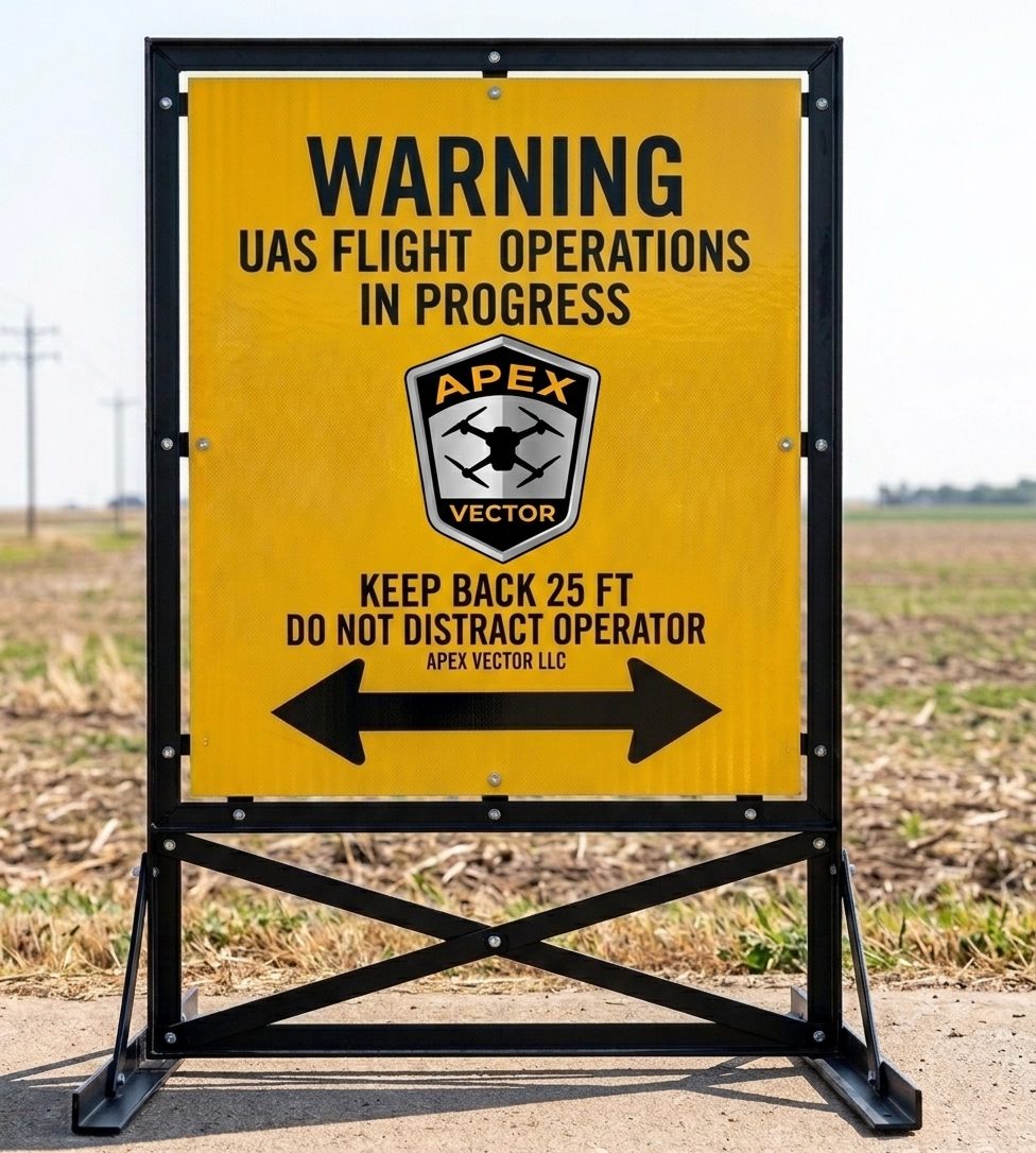
Heavy-duty, high-visibility structural rigid A-frame deployment warning signs positioned explicitly at the outer 25ft Site Safety perimeter boundaries.
🦺 Flight Crew Identification
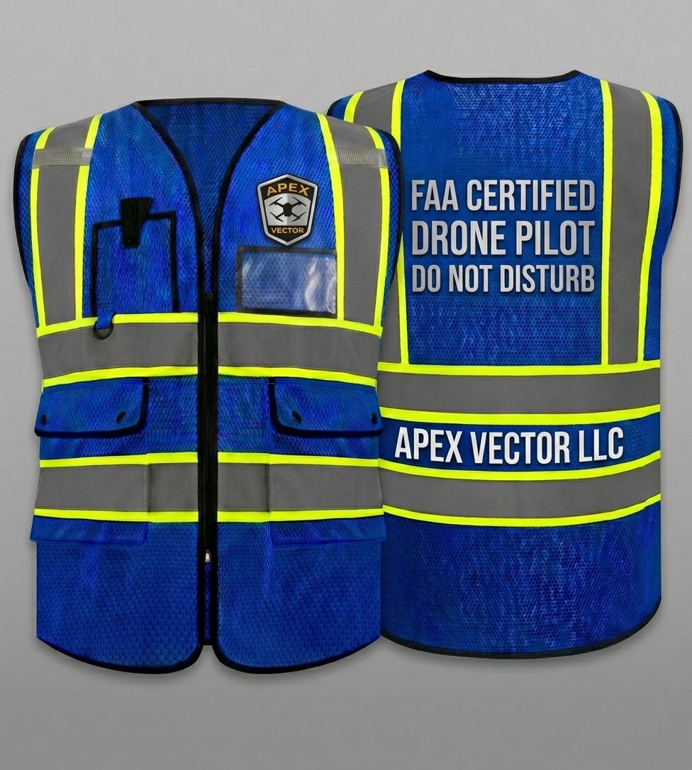
ANSI/ISEA compliant high-visibility Class 3 flight deck apparel worn continuously by the Remote PIC to defend the Ground Control Station from distractions.
🛩️ Command Station Security
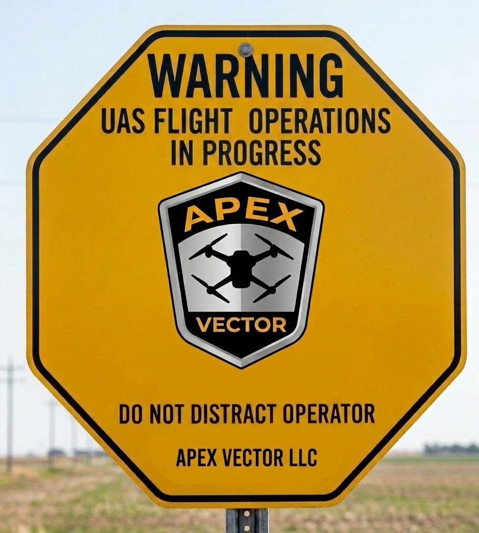
Octagonal perimeter marker configurations deployed to completely isolate real-time telemetry screens and ground control systems from unauthorized personnel.
🛩️ Airspace Integration & PIC Emergency Authority
Our operations within the Hutchinson, Reno County, Kansas region run in close proximity to KHUT (Hutchinson Regional Airport) airspace. Maintaining flawless situational awareness is non-negotiable.
- Ground Incursion Protocol: As Remote Pilot in Command, Travis holds final authority over every flight under 14 C.F.R. § 107.19, and will immediately pause, hover, or return the aircraft the moment an unauthorized person enters a safety perimeter.
- Airspace & Weather Postponement: Flights are subject to immediate suspension or rescheduling if real-time micro-weather (high wind shear, dropping visibility) or military/civilian manned air traffic inside KHUT Class D airspace compromises safety.
📋 Scored Flight-Day Risk Assessment
Before every launch, the Remote PIC scores the mission across 11 risk factors, including pilot readiness, aircraft condition, airspace, wind, visibility, and people or livestock near the site. Any single critical factor grounds the aircraft, no matter how good everything else looks, and it cannot be overridden on site.
Our commitment to safety means your project data is gathered efficiently, legally, and with your site’s safety as the first priority.