Military Aviation Discipline.
Aerial Data You Can Trust.
Mission Profiles
Agricultural Intelligence
Find problems before they cost you yield. Multispectral imaging shows crop stress, stand problems, and drainage issues across the whole field, so you and your agronomist can scout where it matters instead of walking every acre. Maps come on a USB drive ready for your cab, or as a download.
Structure Inspection
Keep your crew on the ground. High-resolution photos, 2D maps, and 3D models of roofs, buildings, stockpiles, and tall structures. You see the problem without anyone climbing to find it.
Commercial Media
Aerial photos and 4K video that show the whole picture. Listings, commercial properties, and construction progress updates, delivered as clean, edited files on time.
Why Military Discipline Matters on Your Job Site
In Army aviation, skipping a step was never an option. I run your job the same way.
- Site control first. Before takeoff I walk the site, set safety boundaries, and confirm airspace clearance.
- Logged maintenance. Every aircraft and battery gets pre- and post-flight checks, and every check is written down.
- Same process every time. Written procedures and a risk check before every flight. If conditions aren't safe, I don't launch.
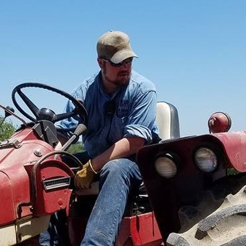
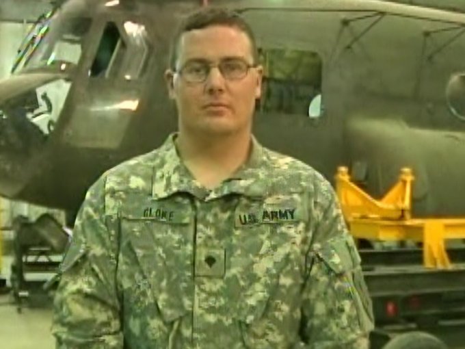
Travis Cloke
Founder & Remote Pilot in Command10-year U.S. Army veteran. I served as a CH-47 Chinook Helicopter Repairer and aircrew member, keeping heavy-lift helicopters ready to fly. Before drones, I spent more than a year at a grain elevator in Wakefield, Kansas, where I saw firsthand how moisture, test weight, and dockage at the scale affect a farm's bottom line. Now I'm bringing that same standard home to Reno County.
Request a Quote